About OpenWetlandsMap
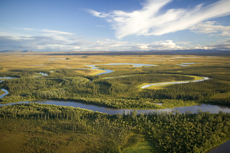
Wetlands provide rich habitats to support biodiversity, filter our water, and protect communities from floods and storm surge. Despite their critical role, wetlands face an embarrassing paradox: we don’t know where they currently are. Detailed, openly accessible, and current wetland data remains limited and fragmented across multiple entities. Considering wetlands are very dynamic landscapes, this gap directly leads to delayed decisions, avoidable wetland loss, increased flood risk, degraded water quality, missed opportunities to protect carbon and biodiversity, and loss of life and property – often in already under-resourced communities.
The OpenWetlandsMap is an openly accessible and community-maintained dataset of wetland observations. This map formed from a collaboration between the Environmental Policy Innovation Center and OpenStreetMap US, and with input from a diverse community of wetland experts to capture the nuance of wetlands across different landscapes.
By producing an open database of wetland observations, we can support modeling efforts, improve the accuracy of flood predictions, inform siting and permitting decisions, build connections across the wetland data landscape, and help restoration practitioners anticipate where mitigation banks are most needed.
This database and associated resources will enable anyone, from casual kayakers to wetland delineation professionals, to contribute to a more up-to-date map of wetland locations. With your help, we aim to have a better understanding of where wetlands are across the world!
Acknowledgements
This work is guided by the Wetlands Deep Dive community of over 100 wetland and data experts across the U.S., whose feedback, thoughts, and ideas are continuously shaping the OpenWetlandsMap.